Le Guide du Gers
Discover our other guides

- Home page
- Tourism
- Discover
- Hiking itineraries in Gers
- Condom
- ENTRE VOIE VERTE ET BAÏSE - TRAIL n°2 - Condom
- Condom
- Hiking itineraries in Gers
- Discover
- Tourism
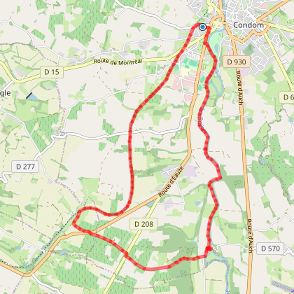
ENTRE VOIE VERTE ET BAÏSE - TRAIL n°2 - Condom
You will like also

Click here to activate the interactive map
You will also like
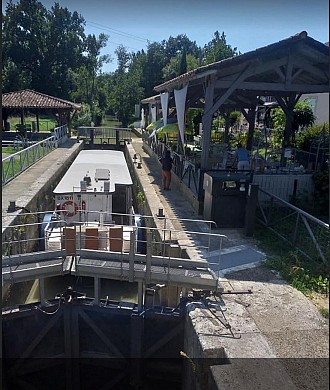
PÈLERINAGE GÉOLOGIQUE - VTT-FFC 6 - Condom
PÈLERINAGE GÉOLOGIQUE - VTT-FFC 6 - Condom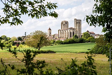
444 m - Condom
LA BOUCLE DE FLARAN - VTT-FFC 4 - Condom/Valence-sur-Baïse
LA BOUCLE DE FLARAN - VTT-FFC 4 - Condom/Valence-sur-Baïse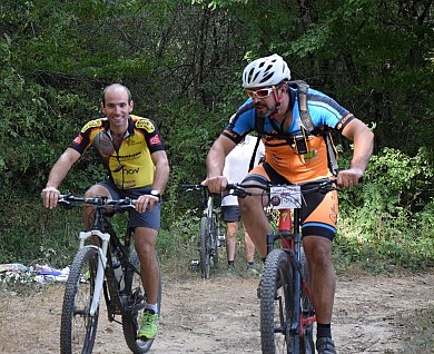
445 m - Condom
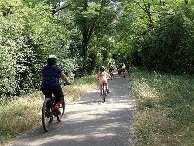
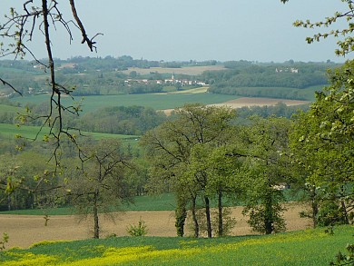
We tested for you
Château de Gensac: the discreet excellence of a Gers terroir shaped since the 13th century
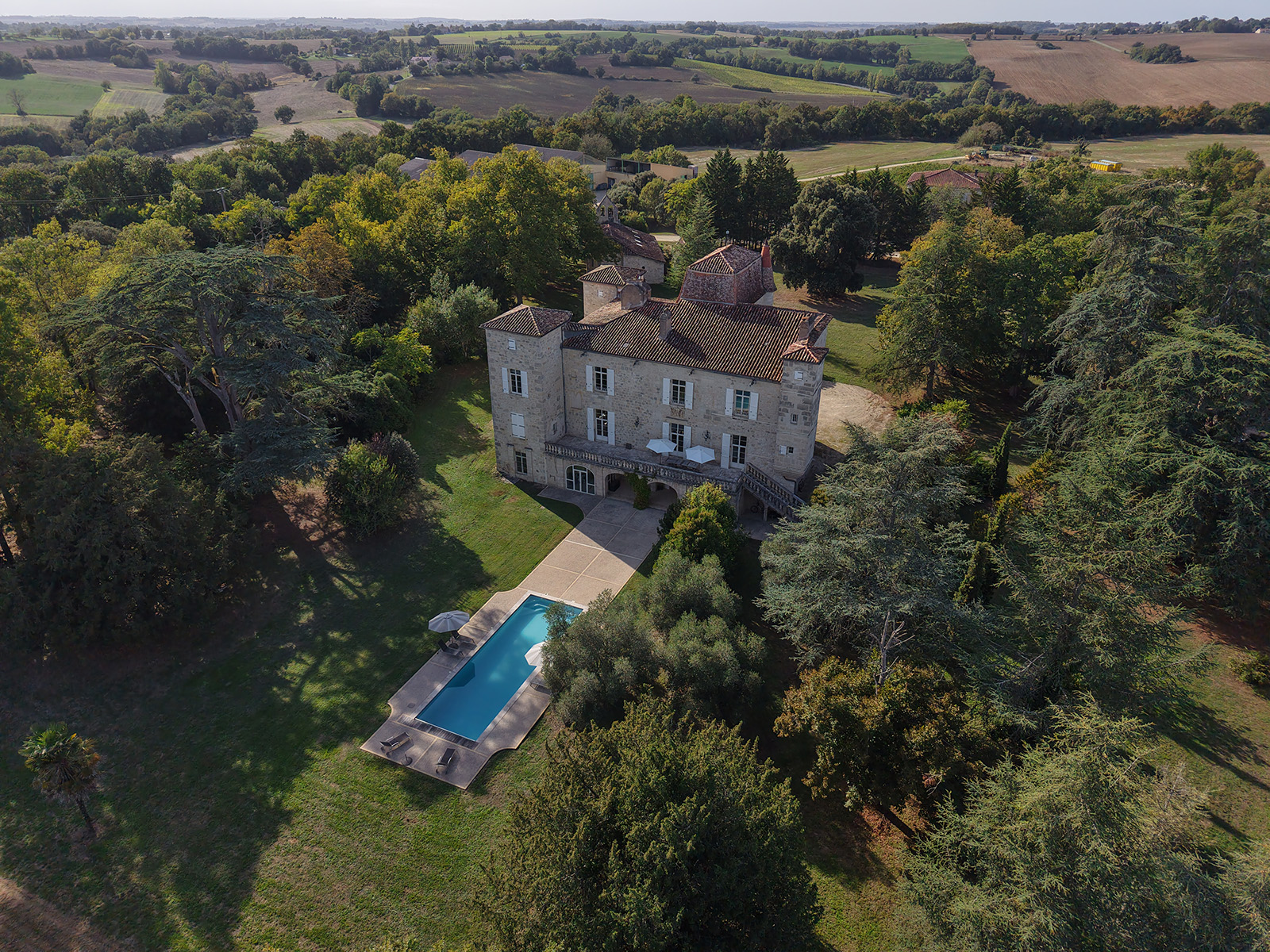
749 m
Armagnac Dupeyron, a dive into the heart of the history of Armagnac in Condom
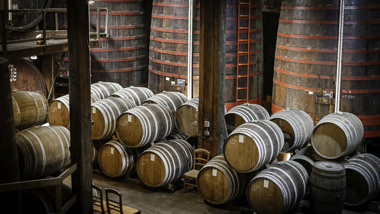
749 m
Spring Break: Tourist sites to see the first buds
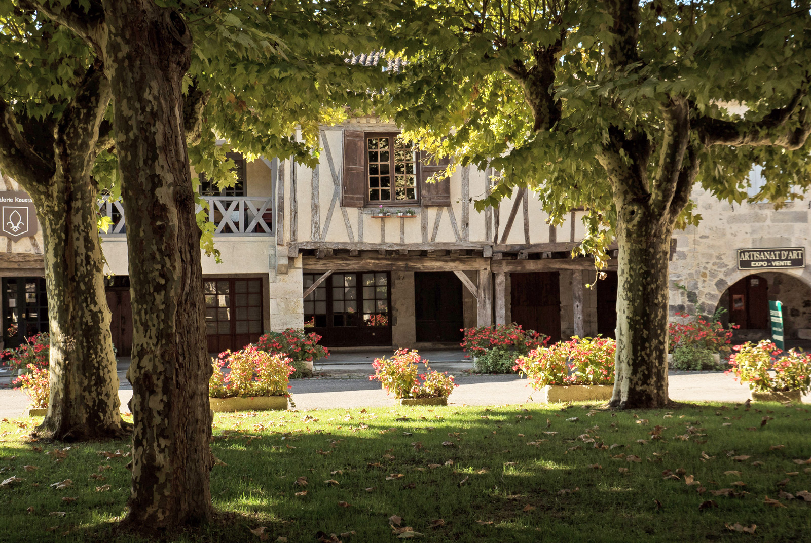
749 m
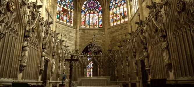
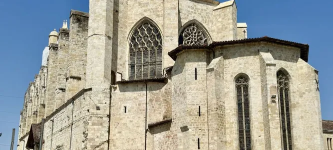
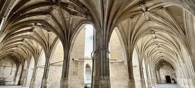
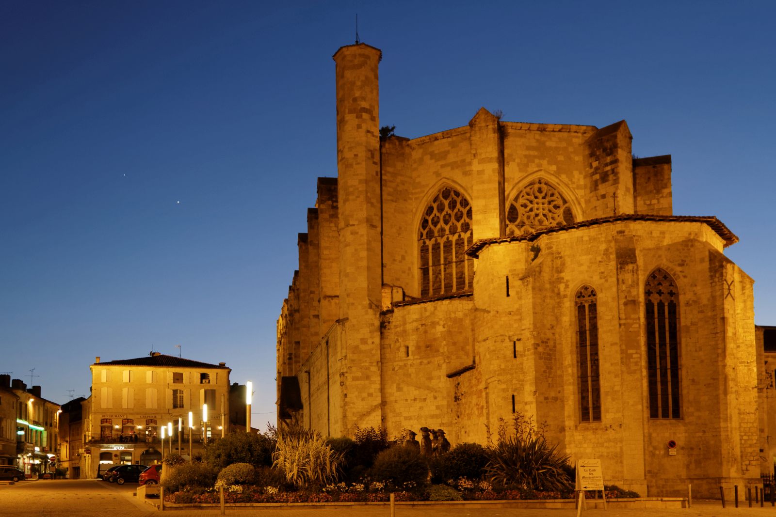
Discovering Saint-Pierre Cathedral in Condom
749 m
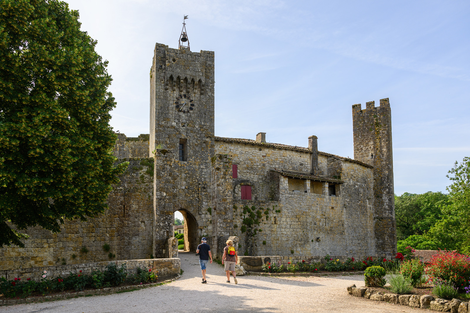
Visit the Gers in 3 days
4,5 km
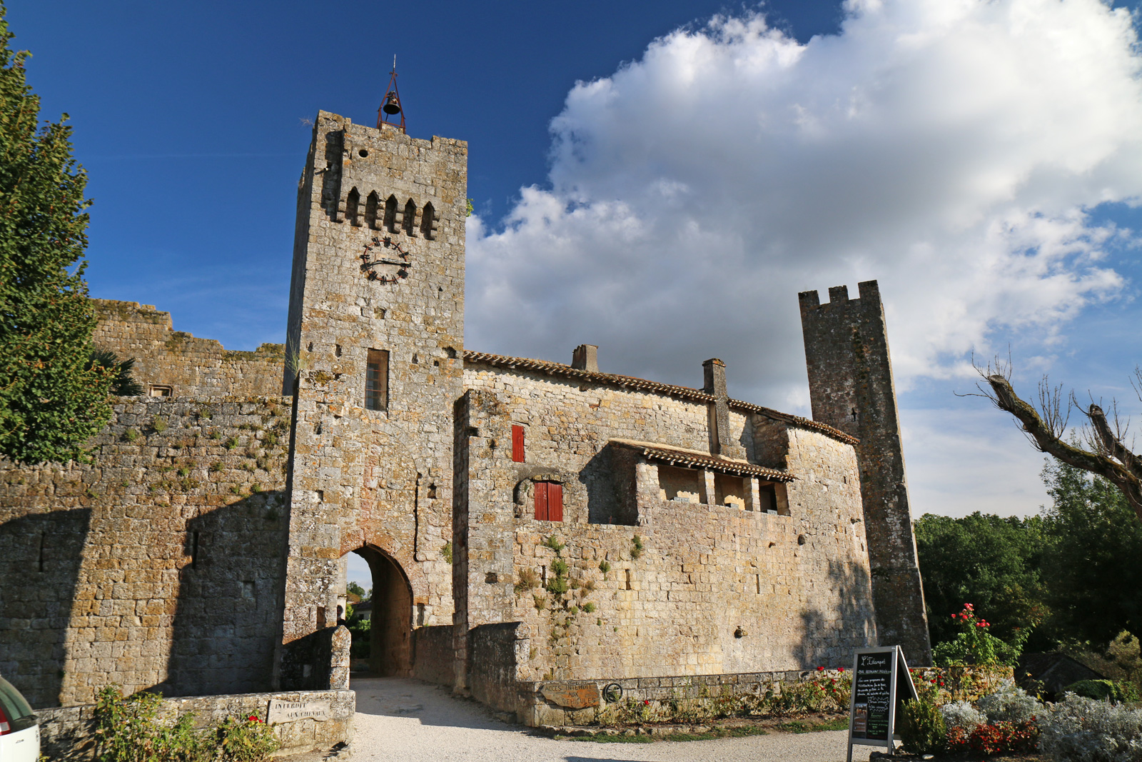
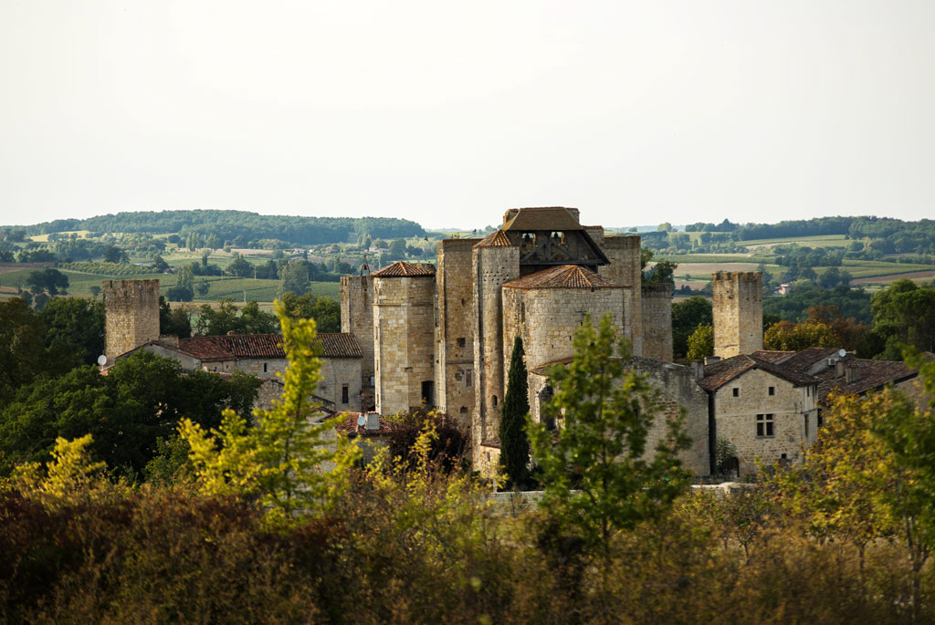
Visit Larressingle, the little Carcassonne in the Gers
4,5 km
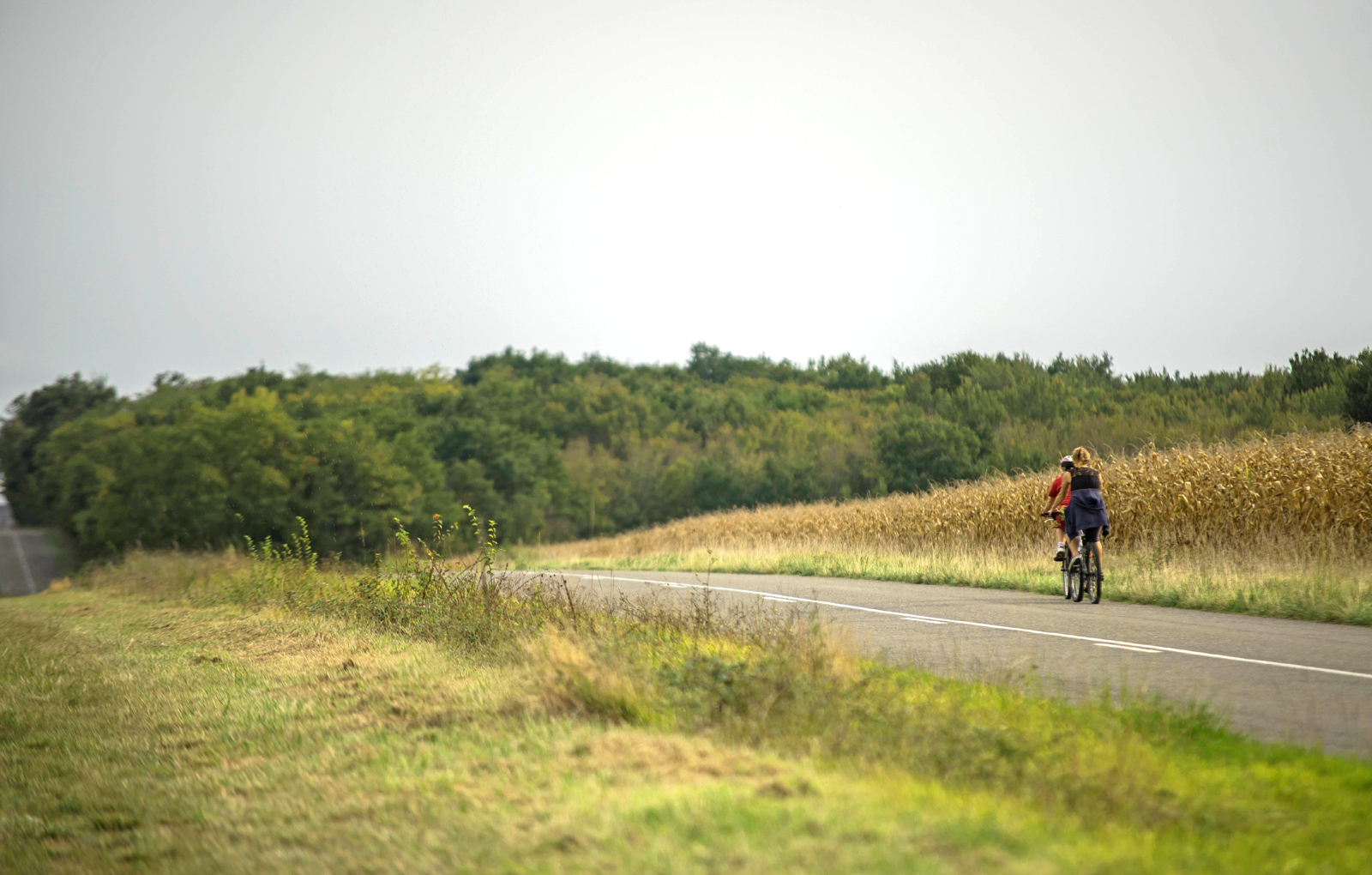
The most beautiful bike rides in the Gers
4,5 km
The most beautiful villages of Gers
4,5 km